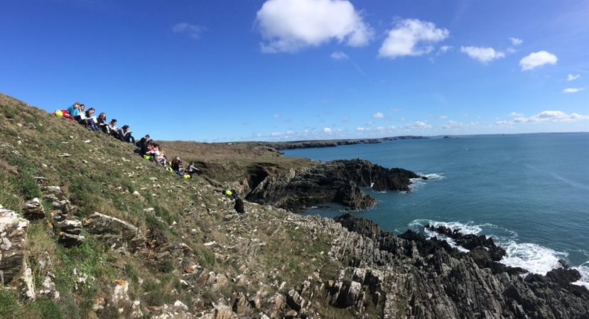
SW Wales Field Course
This module continues the development of high-quality field skills introduced in the Introductory Field and Research Skills module. These relate to the field identification of rock types, the distinction and recognition of adjacent rock units and their relationships, the quantitative measurement of bedding structures and understanding the significance of their relationships, sedimentary and structural logging methods, and an introduction to 1:10,000 geological and geomorphological mapping. Approaches to producing high quality reports based on field observations and interpretations will also be introduced.
Fieldwork comprises eight days in Semester 2 in south-west Wales, with a range of formative and summative assessment methods.
By the end of the module you will be able to:
- Recognise and identify a variety of common rocks.
- Recognise and interpret various kinds of geological contact.
- Systematically record geological data in the field, using both notes and field sketches.
- Work effectively in the field, with your own safety and that of your colleagues in mind.
- Produce high quality field notes and reports based on personal observations and their interpretation.
- Appreciate that observations made on the structures found in rocks can help understand their environment of formation, often by comparison with modern analogues.
Assessment
- Three individual coursework exercises submitted on the field trip:
- Sedimentary logging
- Geological mapping
- Structural geology
- Two indivdual coursework exercises submitted after the field trip:
- A short (one-page A4) synthetic summary relating to a selected aspect of the trip
- A completed field notebook