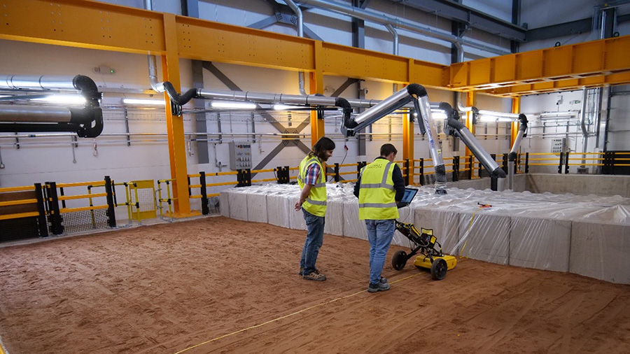
NBIF provides the perfect test environment for experiments into the application of geophysical sensors to address current and future societal issues by detecting buried hazards or opportunities, characterising the ground, and geophysical monitoring of infrastructure condition and the ground over time through use of time lapse experiments.
 The large pit within which different targets can be buried, moving actuator floor and environmental chamber allow a wide range of customisable real-world targets and environmental effects to be simulated at real life scale based on the challenges of industry and society, which can be detected using different geophysical techniques from the surface.
To facilitate these experiments, the group has a wide range of equipment for different geophysical research including:
- Ground Penetrating Radars (GPR) of frequencies from 250MHz – 2 GHz.
- Magnetometry
- Electrical Resistivity Tomography (ERT)
- Gravimeters
- Vibrating Seismic source and geophones
- Surveying total stations for accurate location of geophysical measurements
The group has conducted research into all different stages of the geophysical survey process, from planning surveys and assessing capability, using novel sensors to collect better quality data, all the way through to being on the cutting edge of processing and interpretation techniques to make the measurements meaningful to end users. Some of our skills and previous research areas include:
- Forward modelling of expected geophysical responses using different sensors to accurate assess their likely performance for different targets and environmental scenarios.
- Testing the next generation of geophysical sensors such as gravity instruments based on quantum interference and MEMs technologies.
- Developing novel processing techniques to improve data quality and remove noise signals from datasets to make the techniques more robust.
- Mathematical inversion of geophysical data to convert measured geophysical responses to accurate locations of buried features which can be used by end users.